RustGIS
A fast, free and open-source GIS written in Rust for mapping, analyzing and sharing geospatial data.
RustGIS runs natively on Windows, macOS and Linux, and in your web browser. Local files are processed on your machine; web data sources, AI providers and plugins can use the network. Map operations are commands you can script from the command line, Python or the AI Assistant.

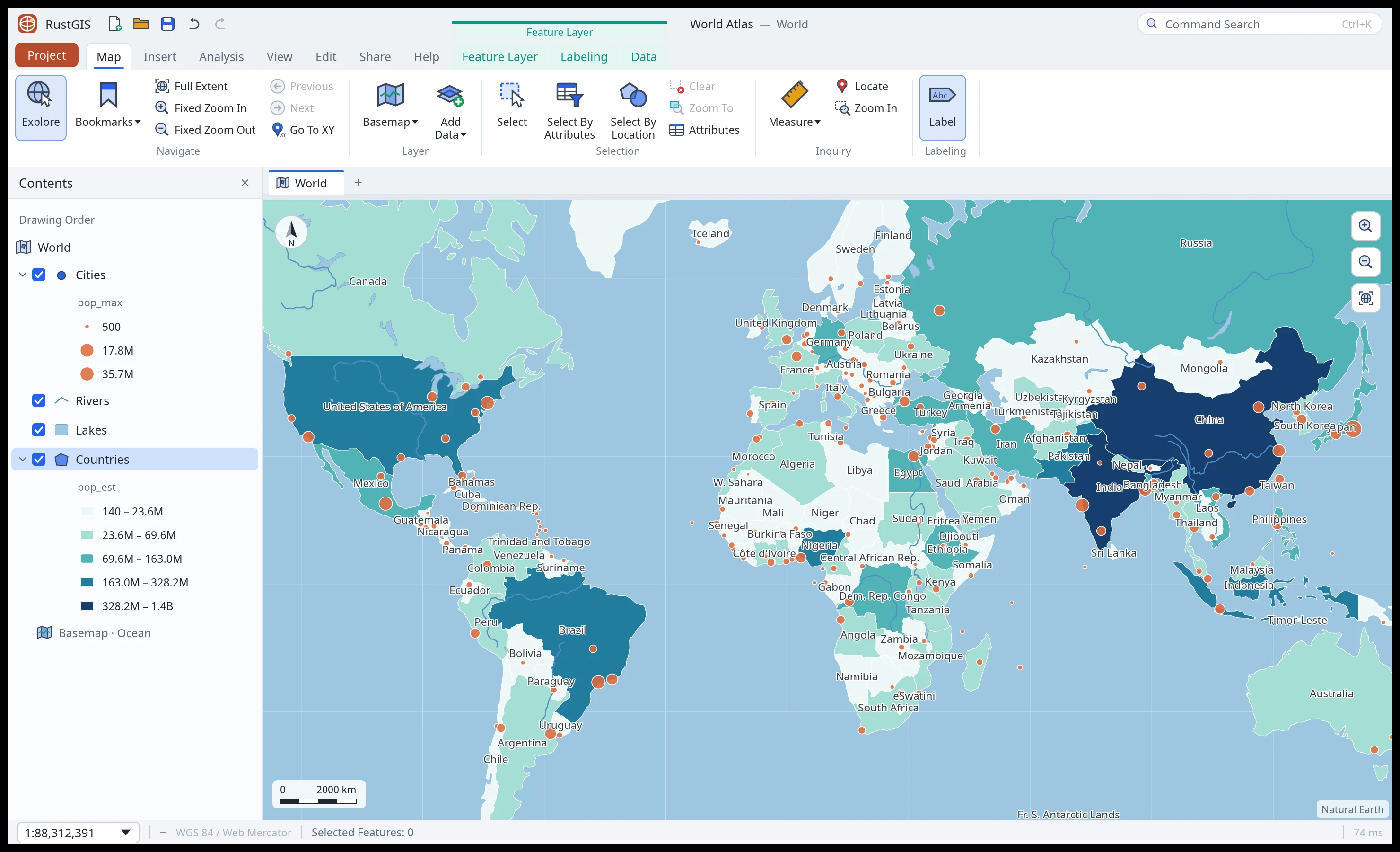
Highlights
-
Your data, any source
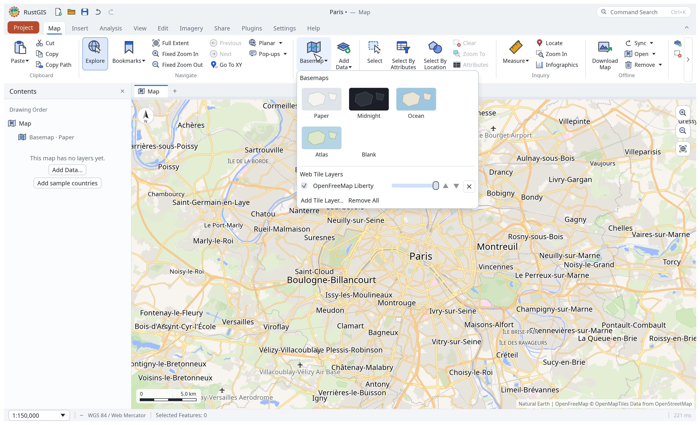
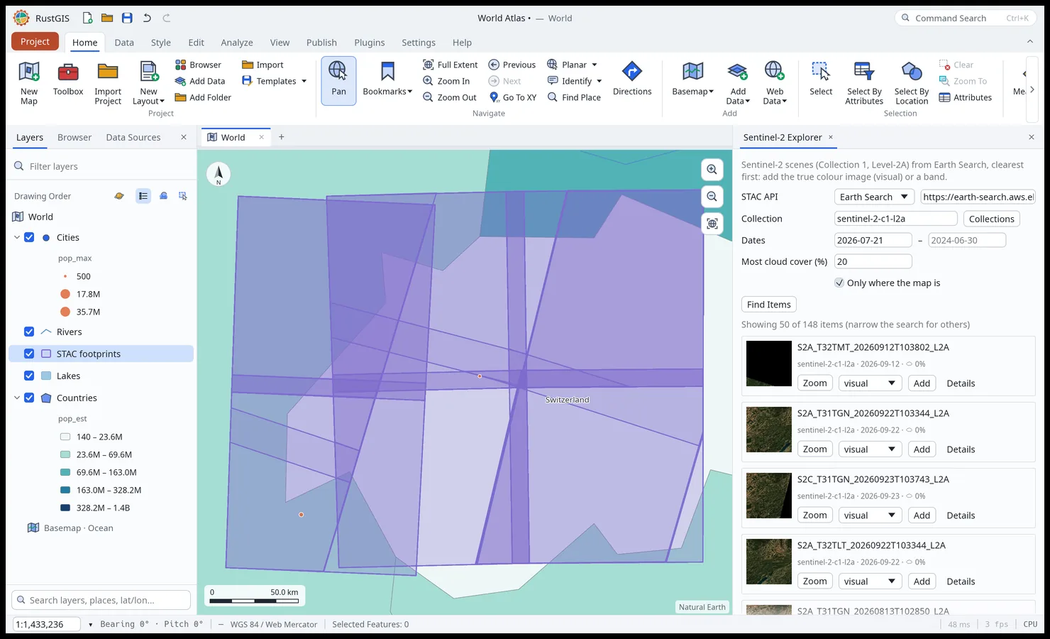
GeoJSON, Shapefile, GeoPackage, GeoParquet, GeoTIFF, LiDAR and Zarr; on the desktop, File Geodatabases and live PostGIS, MySQL, MariaDB and SQL Server; STAC catalogs, Overture Maps and open-data portals; saved connections and QGIS projects. Data · Web Data · Formats
-
Cartography and 3D
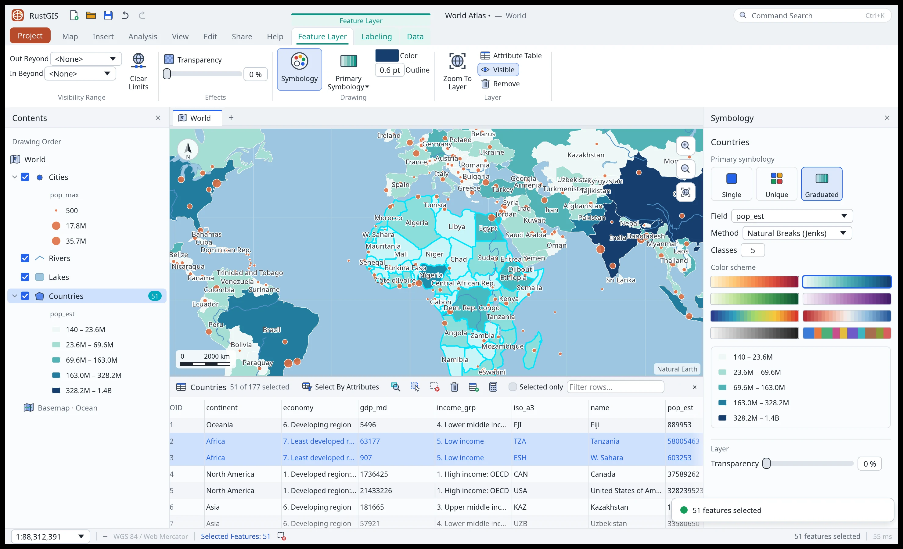
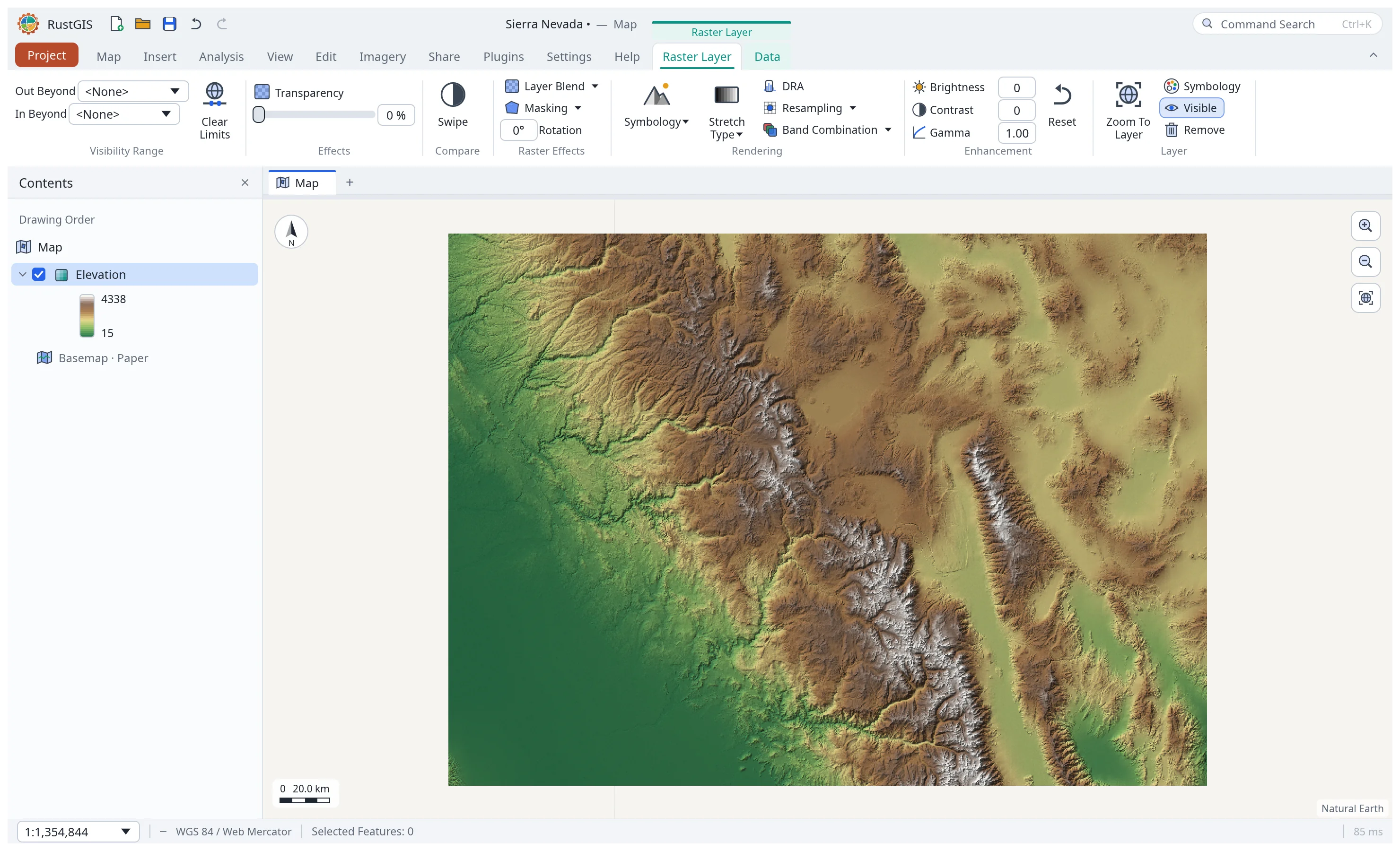
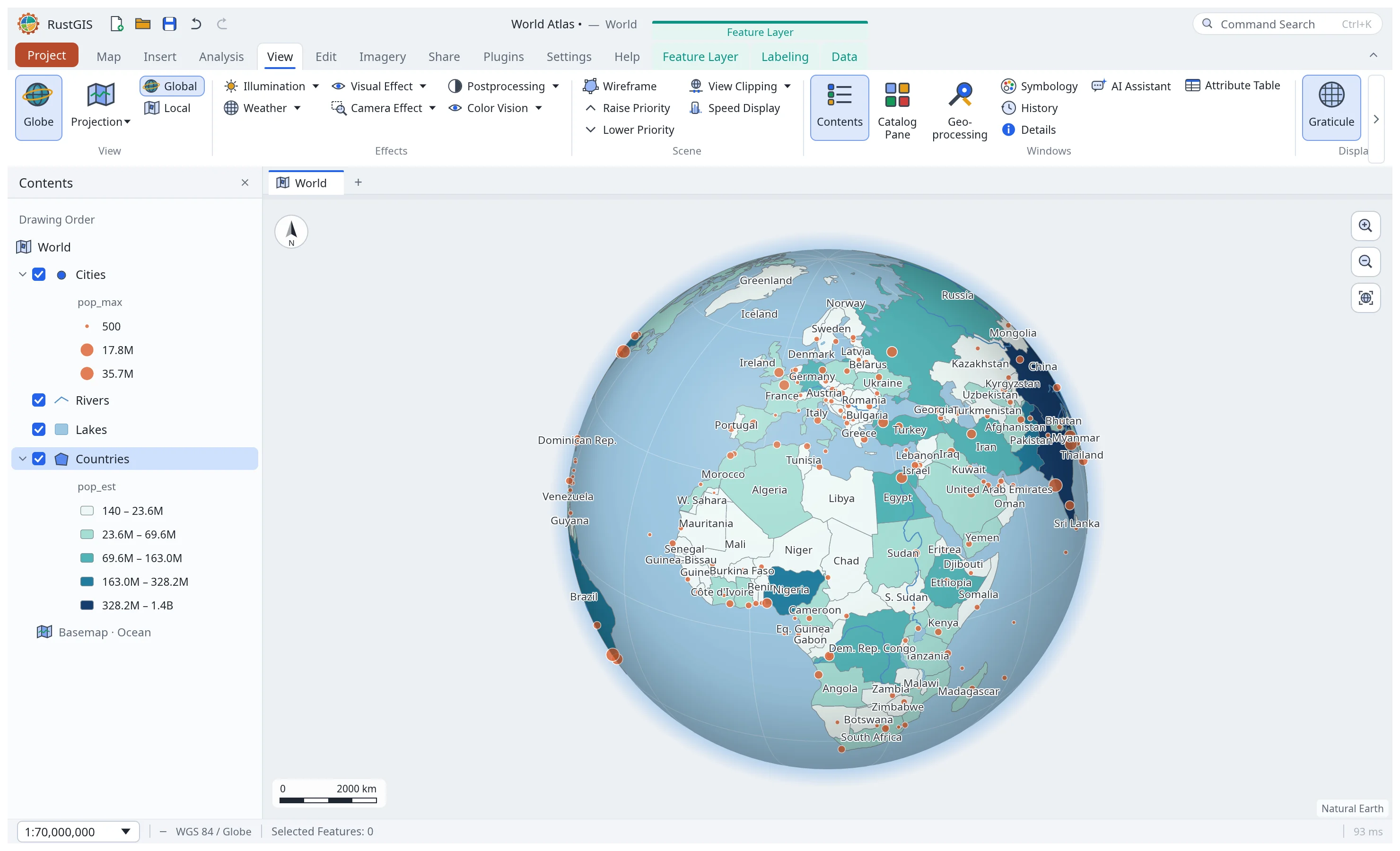
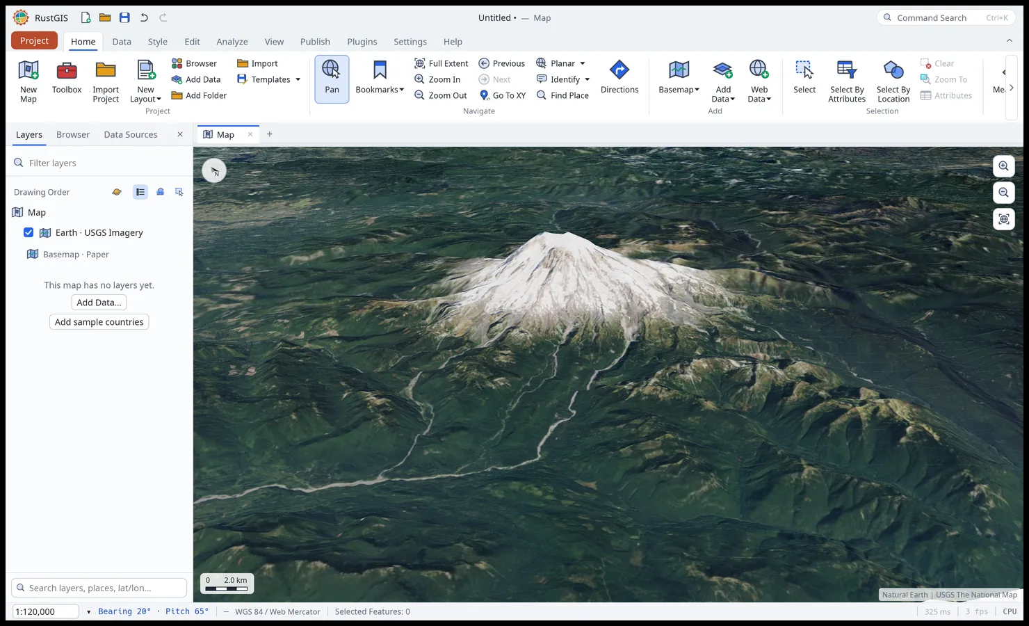
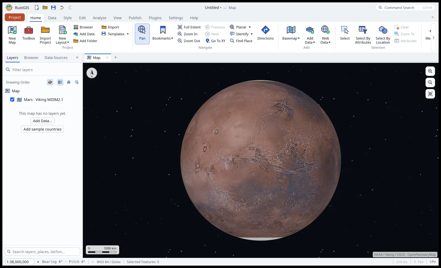
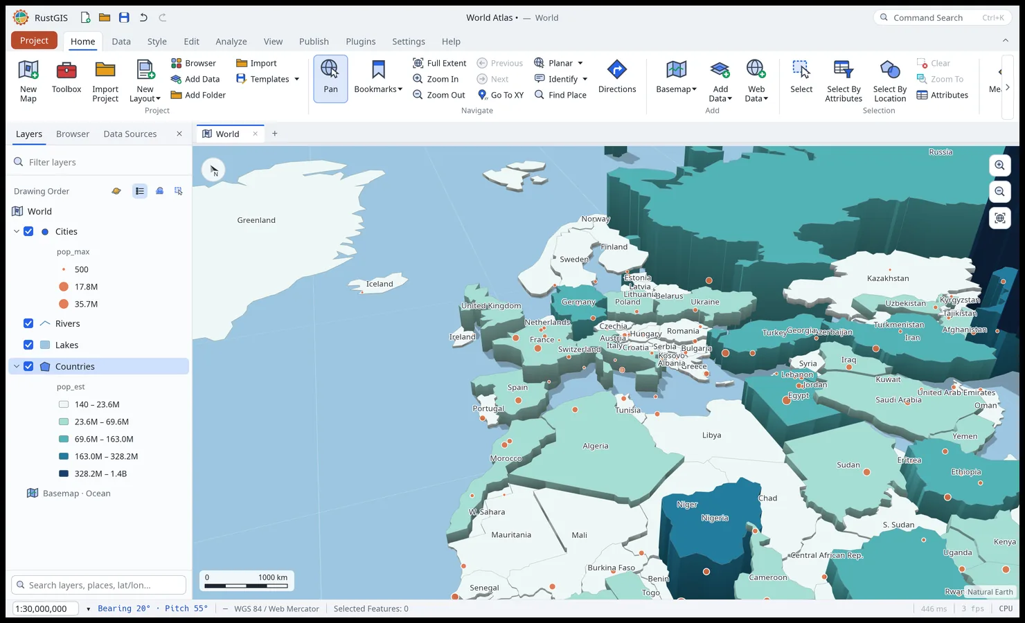
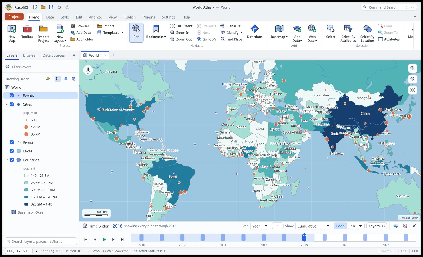
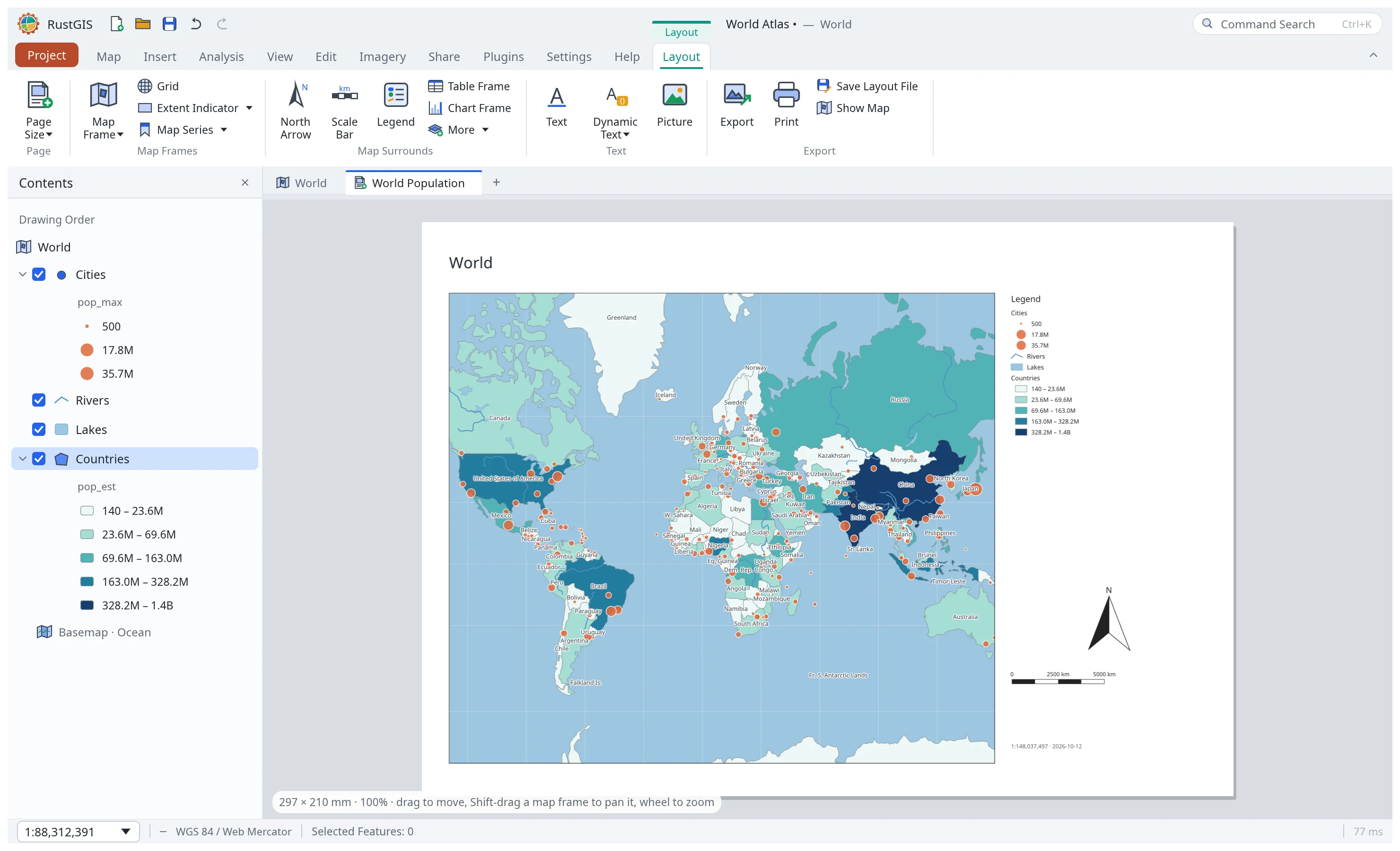
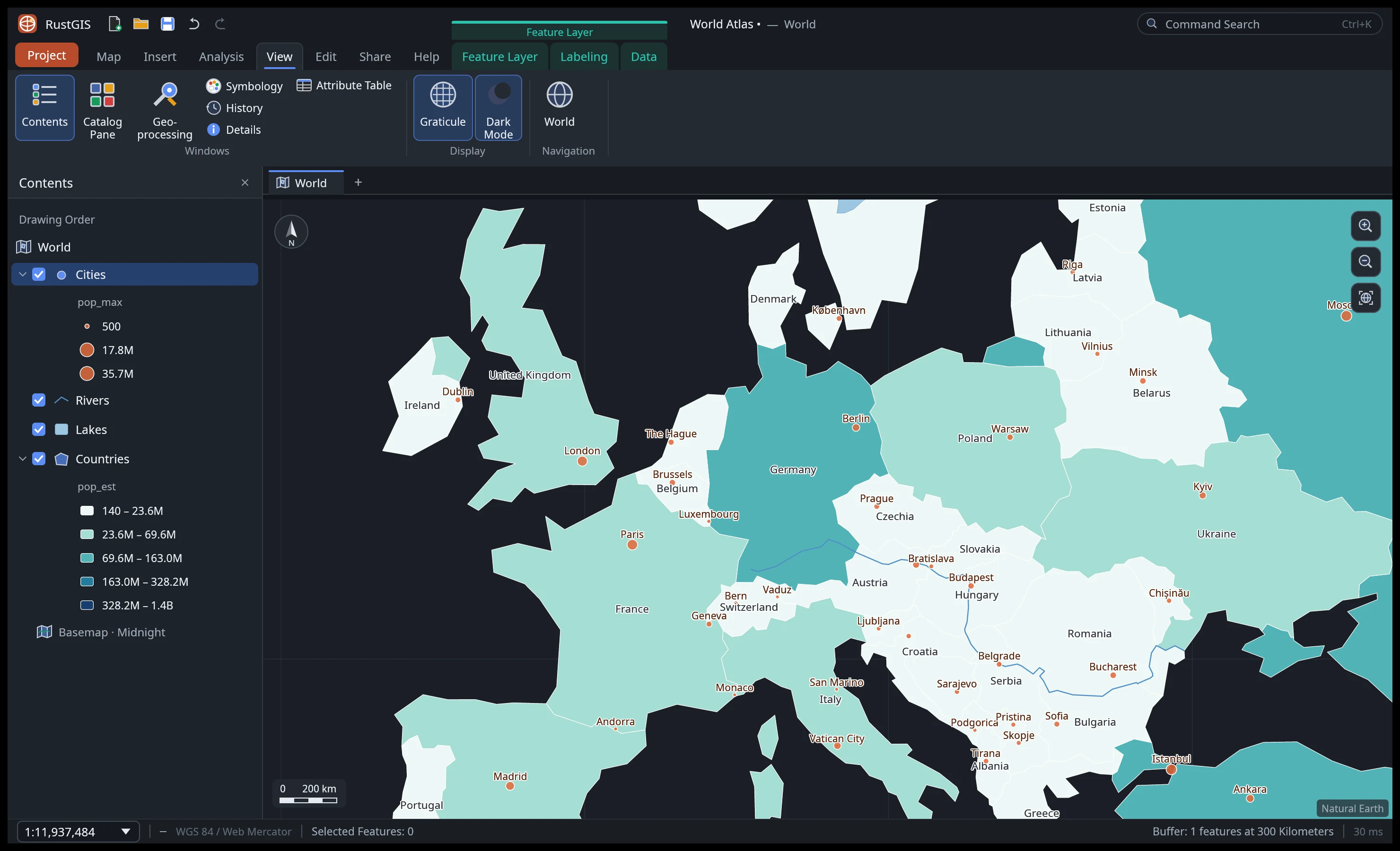
Graduated colours, symbols by expression, curved labels, stacked symbols, publication layouts and map series; a 3D globe, projection presets, terrain and extrusions, and maps of the Moon, Mars and other worlds. Cartography · Maps · Layouts
-
Analysis
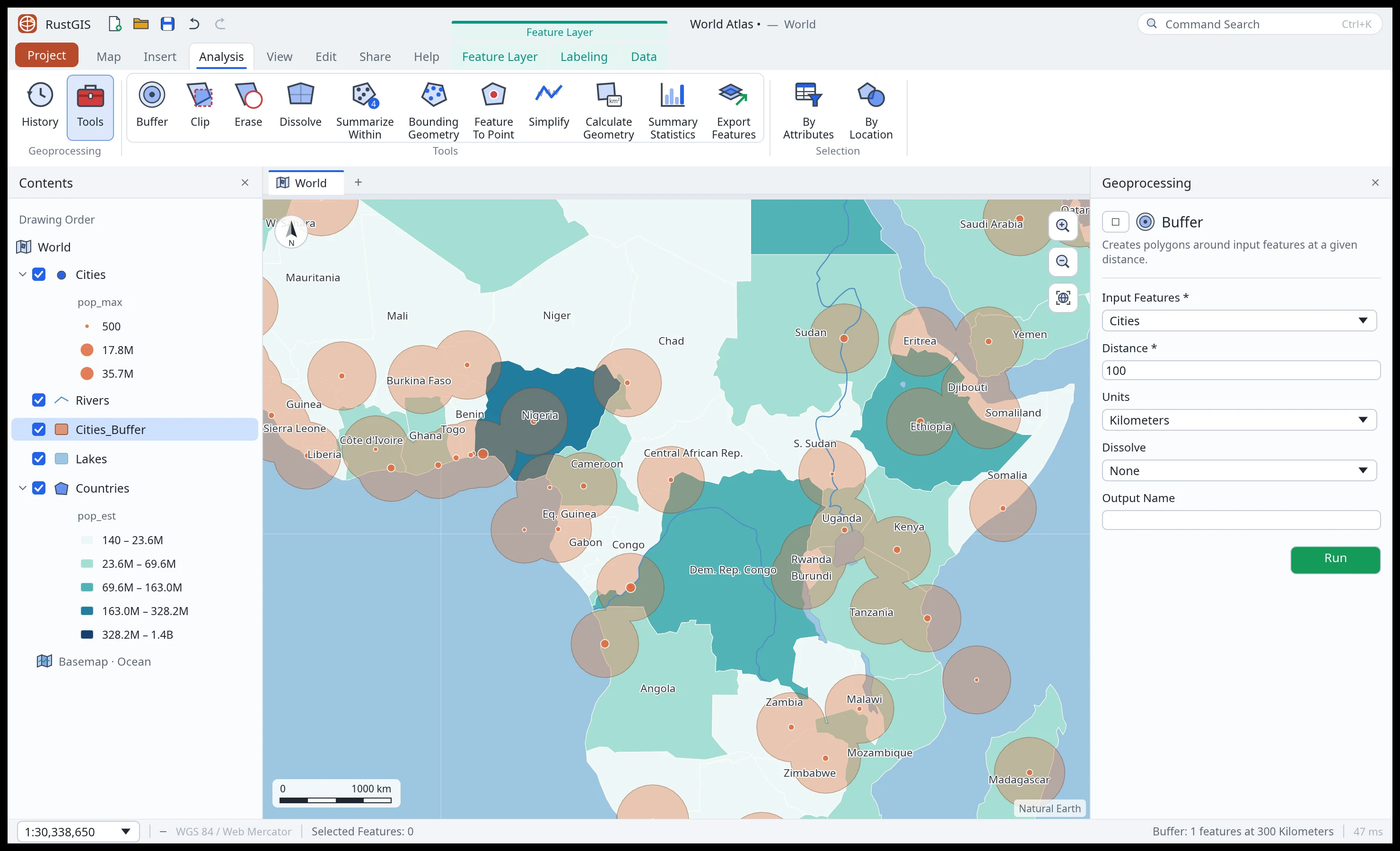
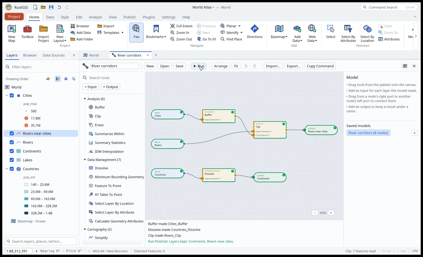
SQL selection, overlay and proximity tools, guided workflows, ModelBuilder, imagery tools, spatial join, kriging, zonal statistics, data-cube time series and trends, and over 1,000 tools through the optional GeoLibre/Whitebox suite. Analysis · Expressions
-
Editing
Create features and edit their vertices with snapping and templates; move, rotate, merge, split and explode them; keep attributes valid with domains, subtypes and rules; check topology, and undo project edits. Editing · Data design
-
AI Assistant
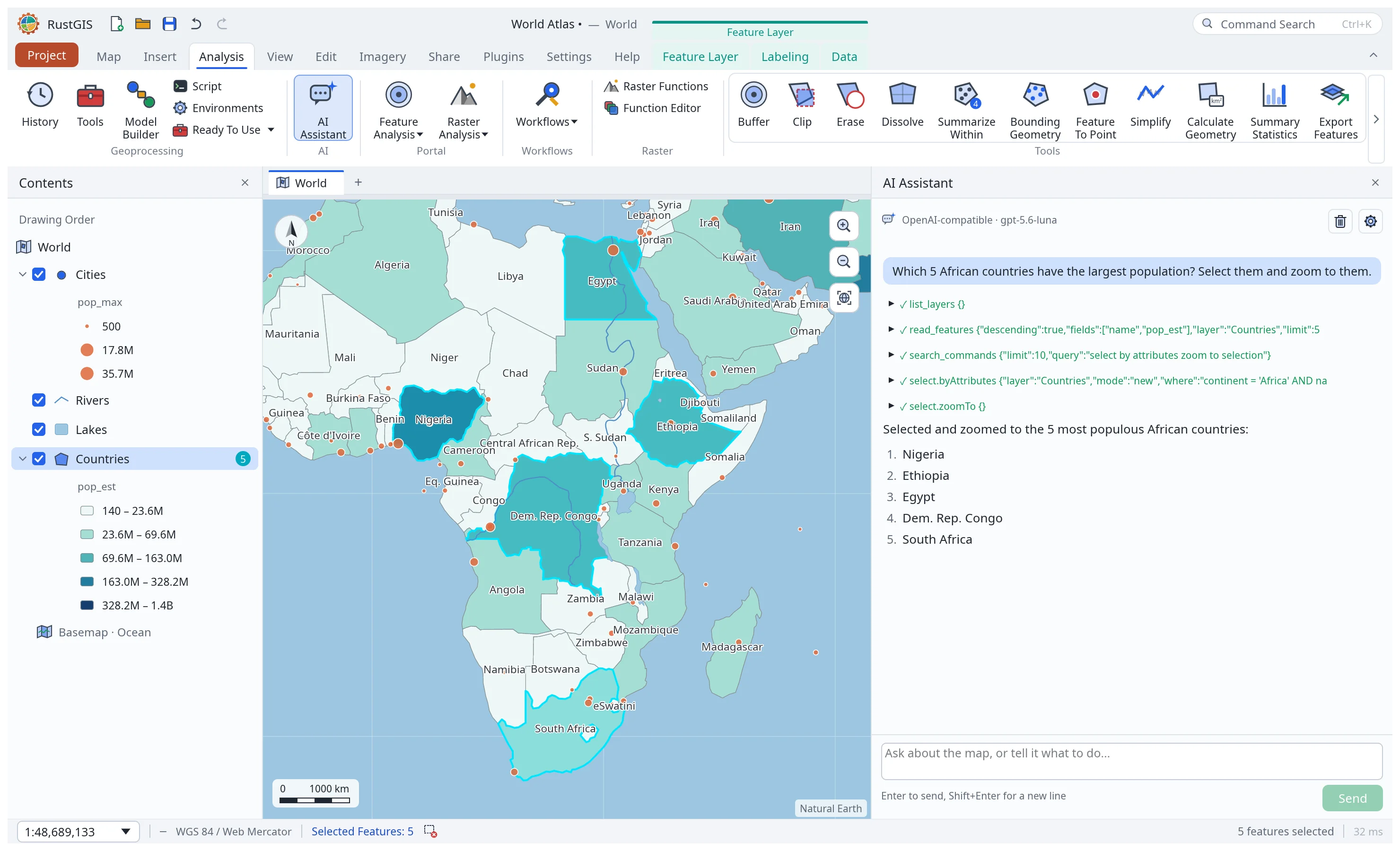
Ask about your data or tell the map what to do. Choose a model provider or sign in with ChatGPT; add skills, or hand tasks to a coding agent on the desktop. File, network and plugin operations wait for your approval. AI Assistant · Skills
-
Scriptable and extensible
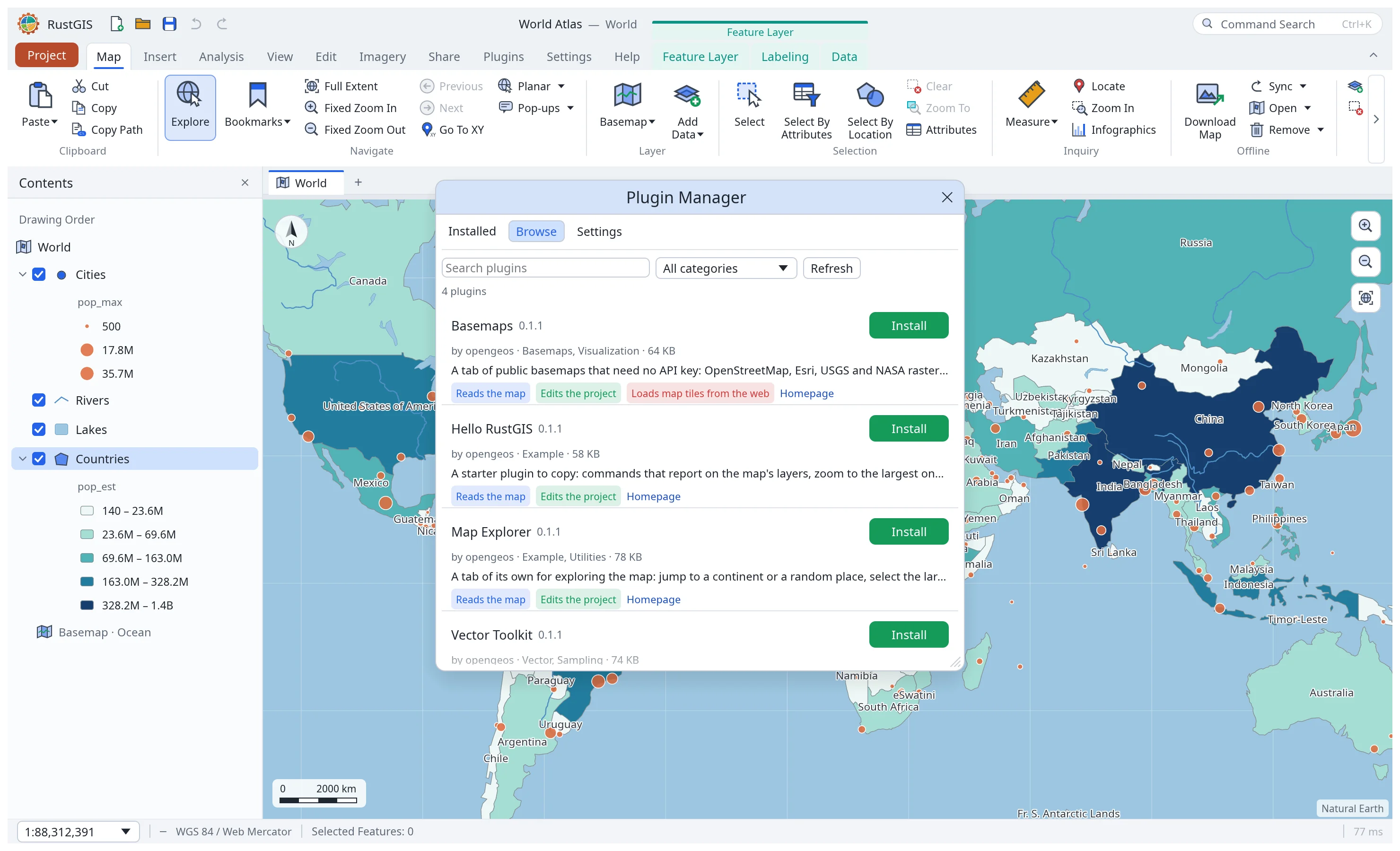
rustgis-cliand therustgisPython package run commands and render maps; MCP connects AI agents to headless sessions or the open app. Plugins add tools, commands and assistant skills, sandboxed in WebAssembly or as unsandboxed desktop processes. Command Line · Python · MCP · Plugins
A tour